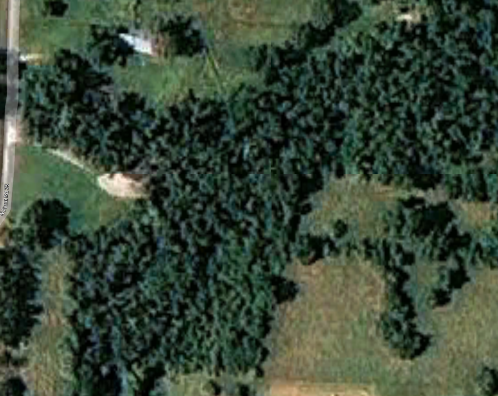
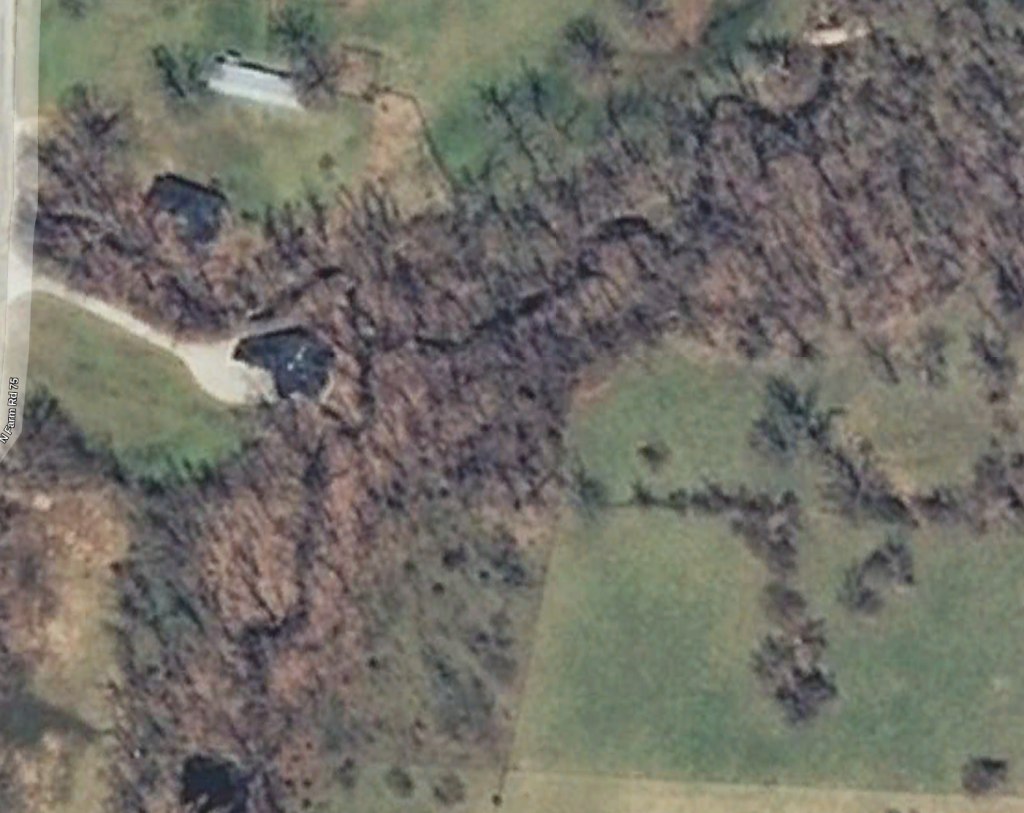
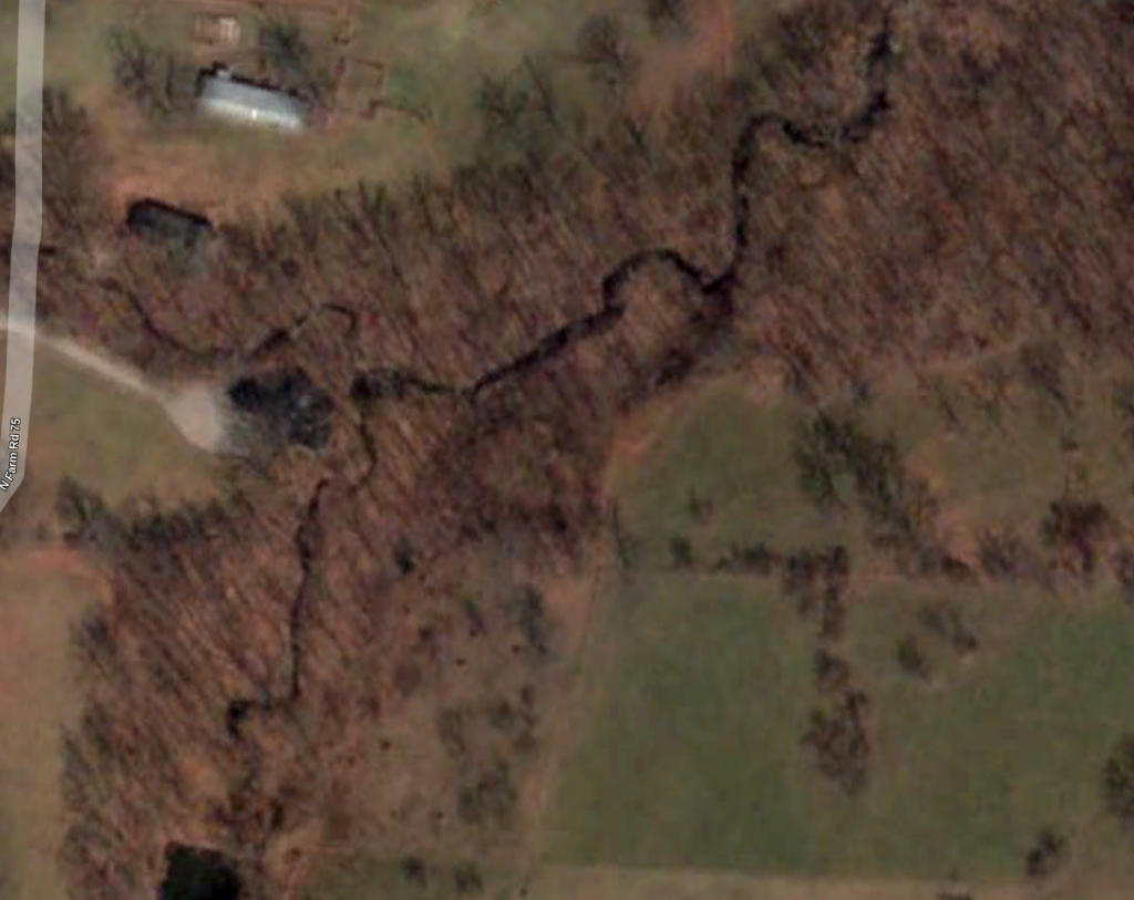
Satellite
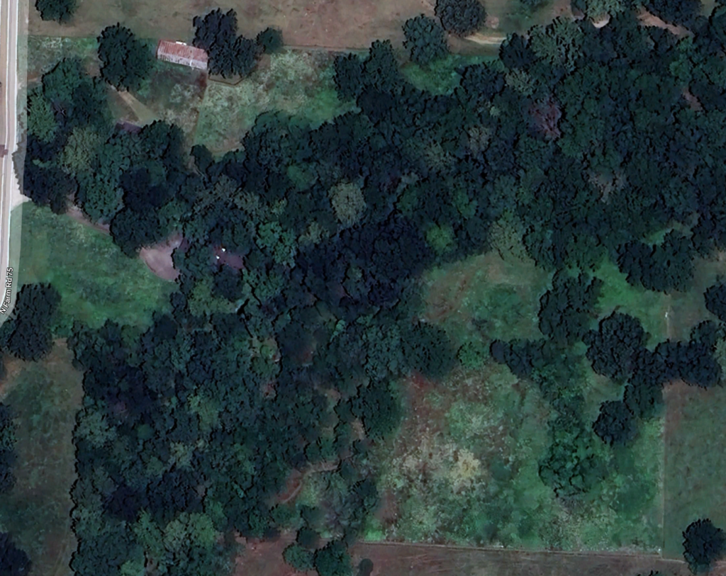
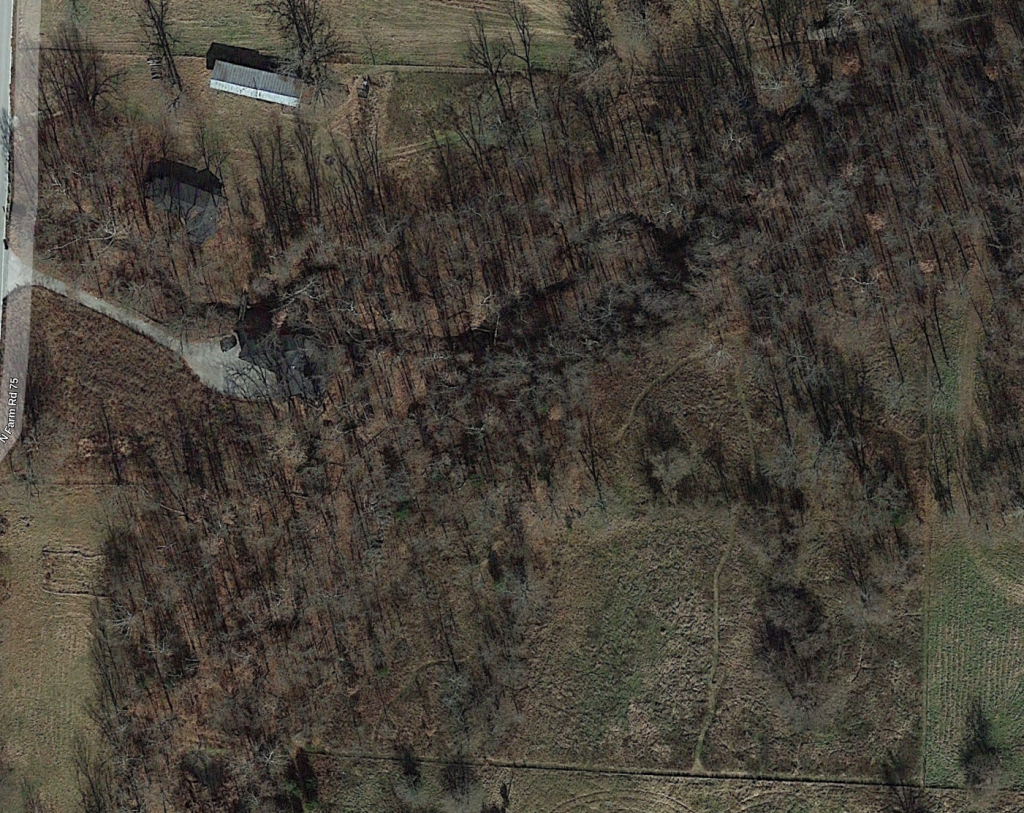
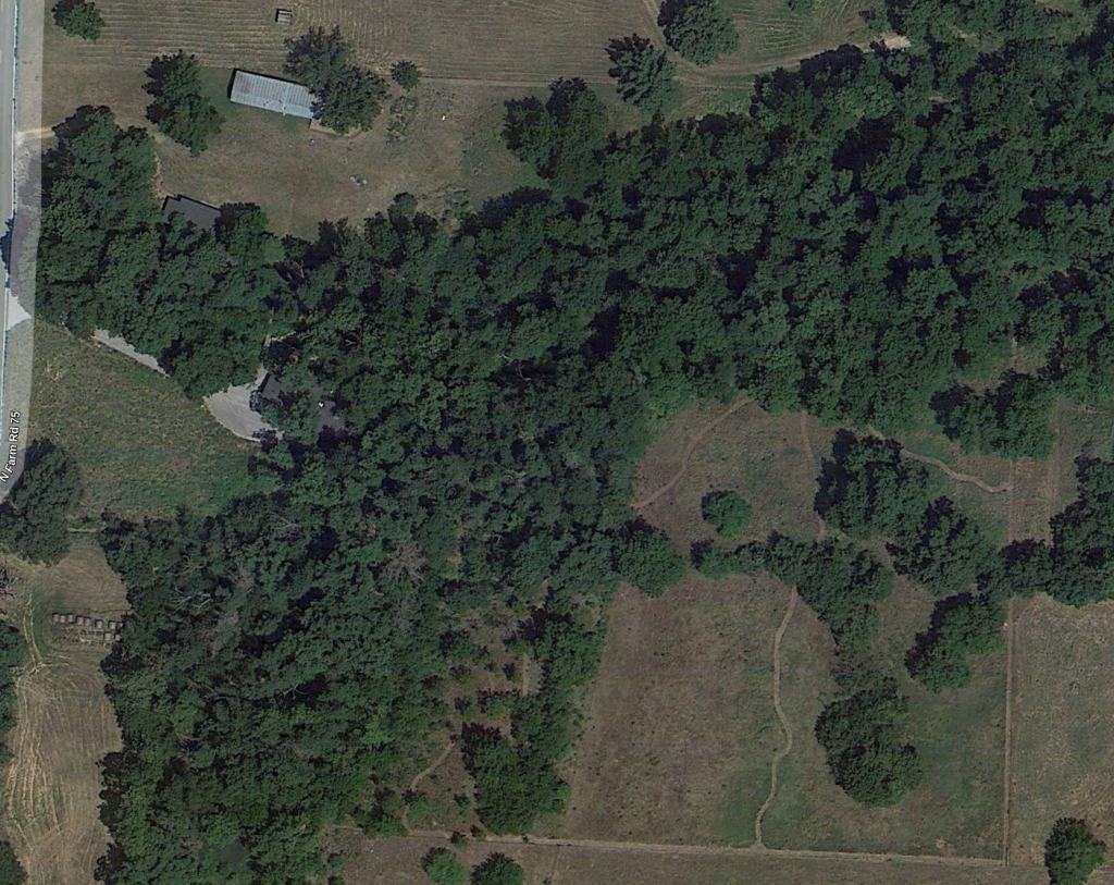
These are recent satellite images from Google Maps. Trails are visible in some images.
January 2026
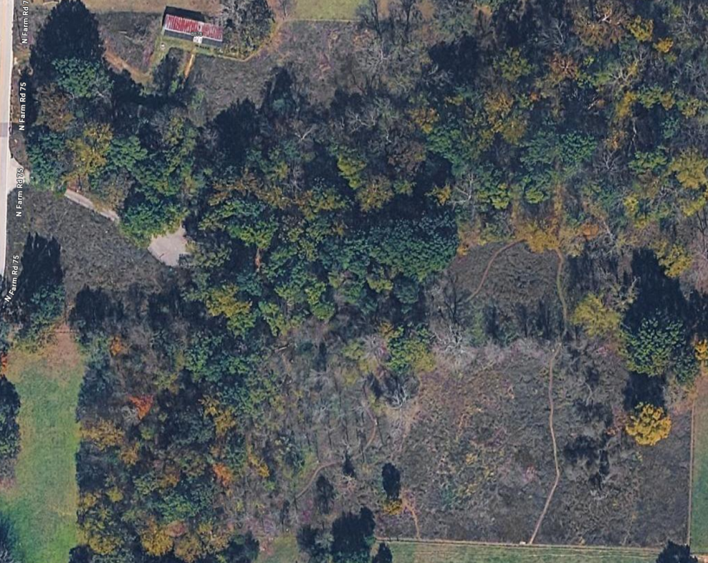
June 2023
November 2013
June 2012
August 2009
April 2008
April 2003
Schematic
This schematic shows three broad burn units (A, B, C, D), separated by the creeks (and a trail), and a grid overlay that identifies sections of the farm (including burn subunits). Named locations can be downloaded below.
